
Established 1879 (Municipality) Area code(s) +53-42 Area 843 km² Population 27,571 (2004) | Founded 1831 Time zone EST (UTC-5) Elevation 15 m Local time Monday 1:06 PM | |
 | ||
Weather 25°C, Wind E at 34 km/h, 59% Humidity | ||
Corralillo is a municipality and town in the Villa Clara Province of Cuba. It was founded in 1831 and established as a municipality in 1879.
Contents
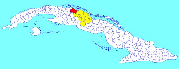
Map of Corralillo, Cuba
Geography
Corralillo is located on the northern coast of Cuba, in the north-western corner of the Villa Clara province, bordering the Matanzas Province to the west and the Bay of Cadiz to the north. The cays of Falcones, Blanquizal and Verde of the Sabana-Camagüey Archipelago as well as a multitude of reefs are located at sea north of Corralillo.
The municipality is divided into the consejos populares (mainly villages) of Ceja de Pablo, Corralillo (municipal seat), Palma Sola, Perú, Rancho Veloz, Sabana Grande, Santa María and Sierra Morena.
Demographics
In 2004, the municipality of Corralillo had a population of 27,581. With a total area of 843 km2 (325 sq mi), it has a population density of 32.7/km2 (85/sq mi).