
Highest point Mount Fridtjof Nansen | ||
 | ||
Mountains Mount Fridtjof Nansen, Mount Weaver | ||
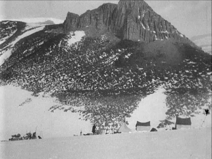
The Queen Maud Mountains are a major group of mountains, ranges and subordinate features of the Transantarctic Mountains, lying between the Beardmore and Reedy Glaciers and including the area from the head of the Ross Ice Shelf to the Antarctic Plateau in Antarctica. Captain Roald Amundsen and his South Pole party ascended Axel Heiberg Glacier near the central part of this group in November 1911, naming these mountains for the Norwegian queen Maud of Wales.
Map of Queen Maud Mountains, Antarctica
Elevations bordering the Beardmore Glacier, at the western extremity of these mountains, were observed by the British expeditions led by Ernest Shackleton (1907–09) and Robert Falcon Scott (1910-13), but the mountains as a whole were mapped by several American expeditions led by Richard Evelyn Byrd (1930s and 1940s), and United States Antarctic Program (USARP) and New Zealand Antarctic Research Program (NZARP) expeditions from the 1950s through the 1970s.
The Queen Maud Mountains is divided into the following ranges: