
Length 144 km (89 mi) N-S Area 4,820 km² Country Antarctica | Width 66 km (41 mi) E-W Elevation 4,000 m | |
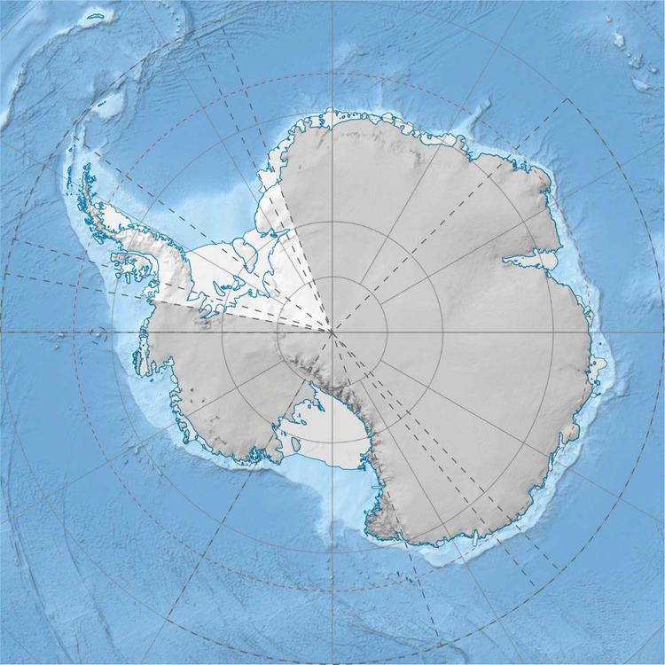 | ||
Peak Flat Top (Ross Dependency) | ||
The Commonwealth Range is a north-south trending range of rugged mountains, 144 kilometres (89 mi) long, located within the Queen Maud Mountains on the Dufek Coast of the continent of Antarctica. The range borders the eastern side of Beardmore Glacier from the Ross Ice Shelf to Keltie Glacier.
Its highest peak is Flat Top at 4000 meters or 13,123 feet. Other peaks within the range include:
Flat Top's next highest neighbor is the massive Mount Kaplan 39 kilometres (24 mi) to the east-northeast.
The range was discovered by the British Antarctic Expedition (1907–09) and named by the expedition after the Commonwealth of Australia, which gave much assistance to the expedition.
References
Commonwealth Range Wikipedia(Text) CC BY-SA