
Length 72 km | Province Québec | |
 | ||
East end: near Saint-Pierre-de-l'Île-d'Orléans | ||
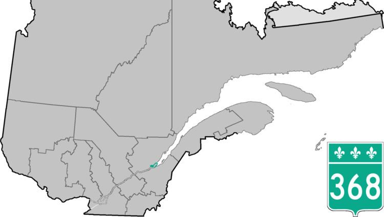
Route 368 is a 72 km two-lane east/west highway in Quebec, Canada, which is located on Île d'Orléans and includes the Pont de l'Île which connects the island to the mainland. It starts at the junction of Autoroute 40 at exit 325 in Beauport, now part of Quebec City, crosses the bridge and it follows around the island's perimeter, passing through all 6 villages on the island.
Contents
Map of QC-368, Qu%C3%A9bec, Canada
On Orleans Island, the route is also known as Chemin Royal (Royal Road) which was completed in 1744.
Towns located along Route 368
References
Quebec Route 368 Wikipedia(Text) CC BY-SA