
North end: in Lac-aux-Sables Length 51.2 km | Province Québec | |
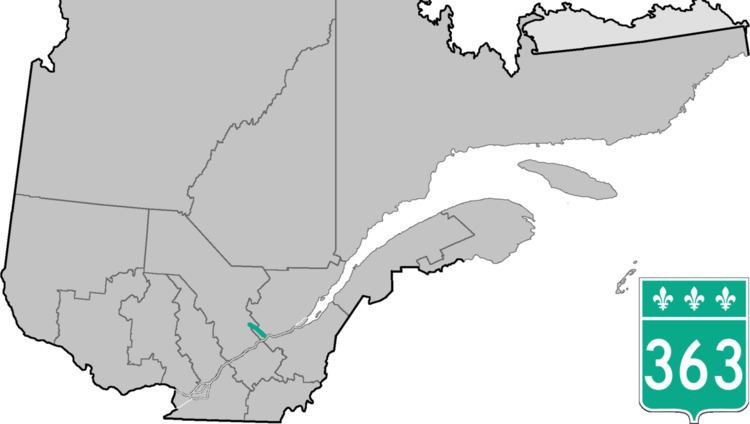 | ||
South end: in Deschambault-Grondines | ||
Route 363 (highest elevation: 575 ft or 175.3 m) is a 53 kilometres (33 mi) south-north route in Quebec, Canada, going from Route 138 in Deschambault-Grondines along the St-Lawrence river to Lac-aux-Sables.
Contents
Map of QC-363, Qu%C3%A9bec, Canada
It goes through St-Marc-des-Carrières where it is called Boulevard Bona-Dussault. After St-Marc, it enters a forest and then runs parallel to a railroad track.
It is then concurrent for about 3 km in St-Casimir with Route 354 along the Rivière Ste-Anne, where it is rue (street) Notre-Dame. Once it crosses the river, heading north, it is called Boulevard de la Montagne.
It also goes through St-Ubalde after having climbed the Laurentian Mountains. In the village of St-Ubalde, it has the name of Boulevard Chabot, but out of town, it takes the name of Rang St-Achille.
It ends at the junction of Route 153 in Lac Aux Sables.
There is an overpass at the Autoroute 40, where there is exit 254. This exit is a major truck stop with now 2 restaurants and gas stations on each side of the freeway. There is now a brand new Subway restaurant just built on the south side of the 40, along with a new and modern Esso gas station.