
Length 50.6 km | Province Québec | |
 | ||
Major cities: Saint-Raymond-de-Portneuf | ||
Route 354 (highest elevation: 507 ft) is an east-west regional road in Quebec, Canada, starting from Route 159 north of Ste-Anne de la Pérade going to St-Raymond. It follows the Rivière Ste-Anne on the south shore most of the time. It is 55 km long, and overlaps Route 363 about 4 km in St-Casimir. Between St-Casimir and Ste-Anne-de-la-Pérade, it is named the "Rapide Nord", where it is the only part it is on the north shore of the river. It becomes rue Tessier Ouest in the village zone. This section was really bad until fall 2005, when it was newly paved on 12 km. Once it crosses the Rivière Ste-Anne, in the village of St-Casimir, it takes the name of rue (street) Notre-Dame.
Contents
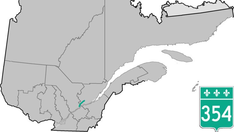
Map of QC-354, Qu%C3%A9bec, Canada
From St-Alban to St-Raymond (Chute Panet), the route has the name of "Route du Golf", because there is the "Golf des Pins" in St-Alban. In St-Raymond, it connects to Route 365 and Route 367.
After Chute-Panet, arriving to St-Raymond, the route uses the name of rue (street) St-Pierre. Unfortunately, there is no sign saying the 354 ends there, nor there is none it starts there either.
It goes through another village before Chute Panet: Sainte-Christine-d'Auvergne, a very small place. Right after passing Ste-Christine, there is the "Pont des Cascades", where canoers can start their expedition on the rivière Ste-Anne.
Lots of deers are seen on this route at night in the summer.