
Province Québec | Length 67 km Major cities Gatineau | |
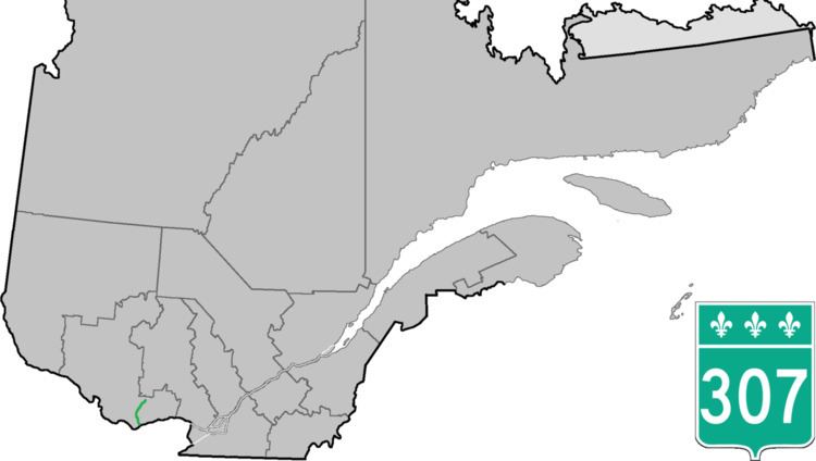 | ||
Counties: Gatineau / Les Collines-de-l'Outaouais / Papineau | ||
Route 307 is a provincial road located in the Outaouais region of Quebec. The road runs mostly parallel to the Gatineau River on the eastern side of it. It starts at the corner of Rue Saint-Louis and Boulevard Greber in the Gatineau sector of the city of Gatineau. It runs north of Gatineau and ends in Val-des-Bois at the junction of Route 309 which runs from the Buckingham sector north into the Upper Laurentians.
Contents
Map of QC-307, Qu%C3%A9bec, Canada
The main communities the highway passes through are Gatineau, Cantley and Val-des-Monts. In Gatineau, it is known as Rue Saint-Louis, in Cantley it is known as Montée de la Source and in Val-des Monts it is named Route Principale.
On June 23, 2010, part of the highway was closed between Val-des-Bois and Bowman, due to a partial bridge collapse caused by a 5.0 magnitude earthquake.