
Province Québec | Length 81.1 km | |
 | ||
Counties: Pontiac / La Vallée-de-la-Gatineau | ||
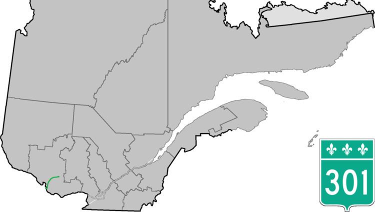
Route 301 is an 81.1-kilometre-long (50.4 mi) provincial highway located in the Outaouais region in western Quebec. The route serves as a direct connection between the Pontiac region and the Upper Gatineau region. The 82-kilometer route runs from the end of Ontario Highway 653 near Portage-du-Fort and joins Route 148 for a 9 km (5.6 mi) stretch up to Campbell's Bay where it continues eastward and ends in Kazabazua at the junction of Route 105.
Contents
Map of QC-301, Qu%C3%A9bec, Canada
Municipalities along Highway 301
References
Quebec Route 301 Wikipedia(Text) CC BY-SA