
Length 137 km Major cities Sainte-Anne-des-Monts | Province Québec | |
 | ||
North end: Route 132 in Sainte-Anne-des-Monts | ||
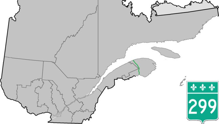
Route 299 is a 137-kilometre (85 mi) long two-lane highway which cuts through the Appalachian Mountains in Quebec, Canada. It starts at the junction of Route 132 in Cascapédia–Saint-Jules, runs through Gaspésie National Park and ends at the junction of Route 132 in Sainte-Anne-des-Monts. It is an isolated highway with only a few small settlements along the way.
Contents
Map of QC-299, Qu%C3%A9bec, Canada
Municipalities along Route 299
References
Quebec Route 299 Wikipedia(Text) CC BY-SA