
Length 84.7 km | Province Québec | |
 | ||
North end: in Les Îles-de-la-Madeleine (Grande-Entrée) Major cities Les Îles-de-la-Madeleine, Quebec | ||
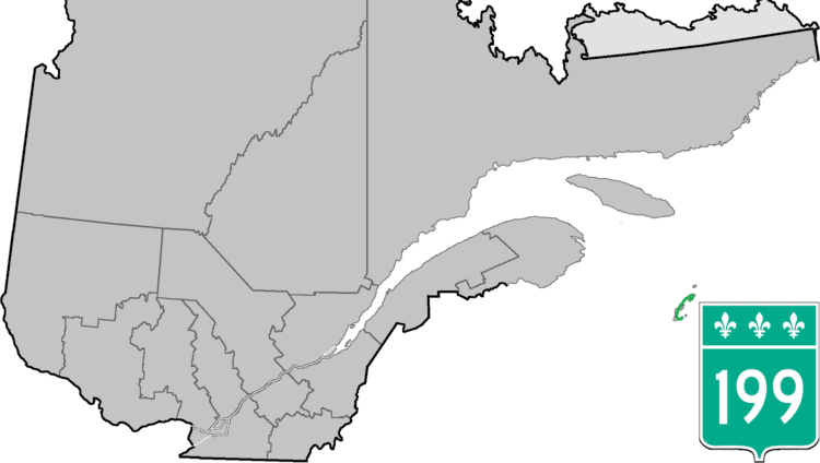
Route 199 is an 85 km (53 mi) north–south highway located on the Magdalen Islands, in the Gulf of Saint Lawrence. Stretching from Les Îles-de-la-Madeleine's communities of L'Île-du-Havre-Aubert to Grande-Entrée, the route is the main artery of the archipelago and is the only Quebec numbered highway that is detached from the rest of the network.
Contents
Map of QC-199, Qu%C3%A9bec, Canada
Municipalities along Route 199
References
Quebec Route 199 Wikipedia(Text) CC BY-SA