
Province Québec | Length 87.1 km | |
 | ||
South end: Route-des-Étangs inSaint-Zénon-du-Lac-Humqui | ||
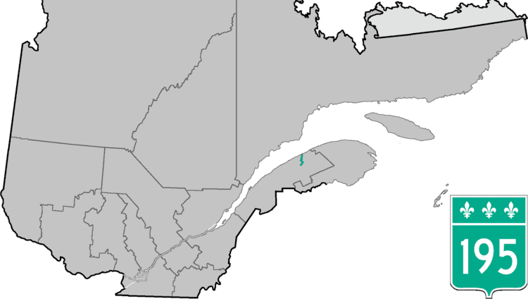
Route 195 is an 87 km two-lane north/south highway in Quebec, Canada, which starts in Matane at the junction of Route 132 and ends in Saint-Zénon-du-Lac-Humqui. The highway acts mainly as a shortcut between Matane and the southern section of Route 132 which leads to the Matapédia River Valley and the southern part of the Gaspé Peninsula.
Contents
Map of Rte 195, Saint-Vianney, QC G0J 3J0, Canada
Municipalities along Route 195
References
Quebec Route 195 Wikipedia(Text) CC BY-SA