
Province Québec | Length 40 km Major cities Lévis | |
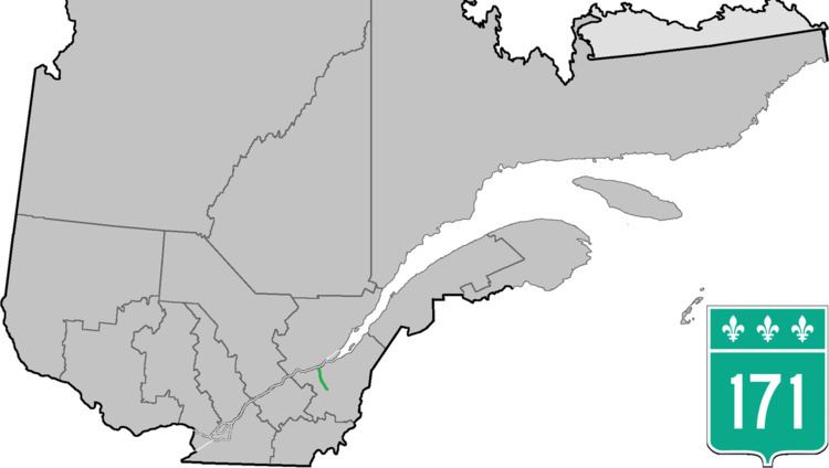 | ||
North end: Route 132 in Lévis (Saint-Nicolas) | ||
Route 171 is a north/south highway on the south shore of the St. Lawrence River in Quebec, Canada. Its southern terminus is in Scott at the junction of Route 173 and its northern terminus is in Lévis at the junction of Route 132. Route 171 follows the Chaudière River for most of its course, from the former town of Saint-Étienne-de-Lauzon up to Scott.
Contents
Map of QC-171, Qu%C3%A9bec, Canada
Since it parallels Autoroute 73, and as it is located on the western side of the Chaudiere (whereas most town centres are located on the eastern side), Route 171 is far from being a busy highway.
Municipalities along Route 171
References
Quebec Route 171 Wikipedia(Text) CC BY-SA