
North end: Lac-Albanel Province Québec | Length 411.8 km | |
 | ||
South end: Route 169 in Saint-Félicien | ||
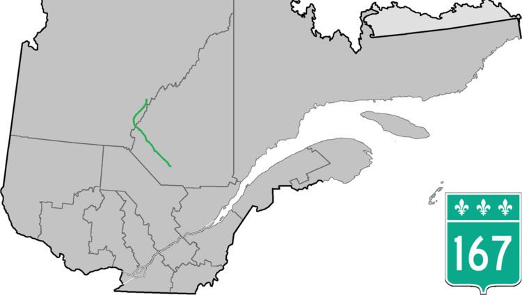
Route 167 is an isolated provincial highway in Quebec, Canada. It begins at the shore of Lac Saint-Jean in Saint-Félicien. It proceeds north-west to Chibougamau 232 km (144.2 mi) away. There are no services along this long stretch. At Chibougamau, the highway turns north-east towards Mistissini.
Contents
Map of QC-167, Qu%C3%A9bec, Canada
Maps are conflicting about the northernmost extent of this highway. The latest provincial road map shows the highway ending 16 km (9.9 mi) south of Mistissini, while the pavement does continue to the town itself. According to Ministère des transports publication "Distances routières", the route continues up as far as Lac-Albanel, east of Lac Mistassini.
Municipalities along Route 167
Extension
The Quebec Department of Transportation has proposed to extend Route 167 North, in the direction of the Otish Mountains, approximately 250 km to the northeast of Albanel Lake.
Construction began in February 2012. The 240 km extension to the Stornaway Renard Mine was completed in 2014.
The first deliveries of liquified natural gas, by truck, with the new road where made on June 2016 to the Renard Mine.