
- elevation 52 m (171 ft) - elevation 791 m (2,595 ft) - elevation 0 m (0 ft) Area 13.09 km² | - location Biscoito da Ferraria - location Atlantic Ocean - water .00 km (0 sq mi) Urban area 29 km² | |
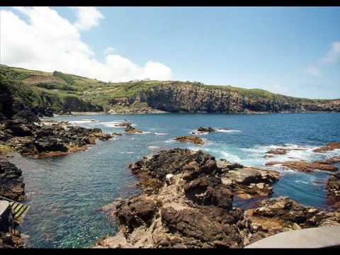 | ||
Quatro ribeiras swimming hole lajes field acores 09
Quatro Ribeiras is a civil parish in the municipality of Praia da Vitoria on the northern coast of the Portuguese island of Terceira in the Azores. The population in 2011 was 394, in an area of 12.83 km². It is the least populous parish in the municipality.
Contents
- Quatro ribeiras swimming hole lajes field acores 09
- Map of Quatro Ribeiras Portugal
- History
- Natural Heritage
- Architectural Heritage
- References
Map of Quatro Ribeiras, Portugal
Situated on a rocky massif by seaside, this locality is crossed by four streams - Ribeira Grande, Ribeira Pequena, Ribeira Seca and Ribeira do Almeida -, thus the name Quatro Ribeiras.
History
According to the chronicles, it was one of the first settlements of the island. Built in devotion to Santa Beatriz, one of the first churches of the island was built here in the fifteenth century.
Natural Heritage
Architectural Heritage
References
Quatro Ribeiras Wikipedia(Text) CC BY-SA