
Isolation 3.16 mi (5.09 km) Prominence 337 m | Elevation 4,348 m Easiest route Hiking | |
 | ||
Similar Mount Lincoln, Torreys Peak, Grays Peak, Mount Democrat, Mount Sherman | ||
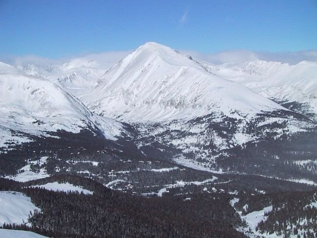
Quandary Peak is the highest summit of the Tenmile Range in the Rocky Mountains of North America. It has nearly the same elevation as Castle Peak and Mount Evans. It lies in Summit County and within the White River National Forest about 6 miles (10 km) south-southwest of the town of Breckenridge.
Map of Quandary Peak, Colorado 80424, USA
The standard route up Quandary Peak is a trail hike (class 1), starting from a trailhead about 1 mile (1.6 km) north of Hoosier Pass on the east side of the peak. Hence it is a popular fourteener to climb because of the relatively easy ascent and its proximity to Denver and Breckenridge. Quandary Peak is also popular with backcountry skiers and snowboarders. The gentle ascent makes for an easy climb from the east with less danger from avalanche than on many other fourteeners. The other slopes of the peak are steep and appeal to expert backcountry skiers. One such steep ski mountaineering route is the Cristo Couloir.