Airport type Public 11/29 3,201 Elevation 160 m Phone +1 215-538-3055 | Elevation AMSL 526 ft / 160 m 3,201 976 Code UKT | |
 | ||
Address 2425 Milford Square Pike, Quakertown, PA 18951, USA Similar Pennridge Airport, Re/Max 440 INC, Holiday Inn Express Quakerto, Re/Max 440, Allentown Queen City Municipal | ||
Airplane landing at quakertown airport
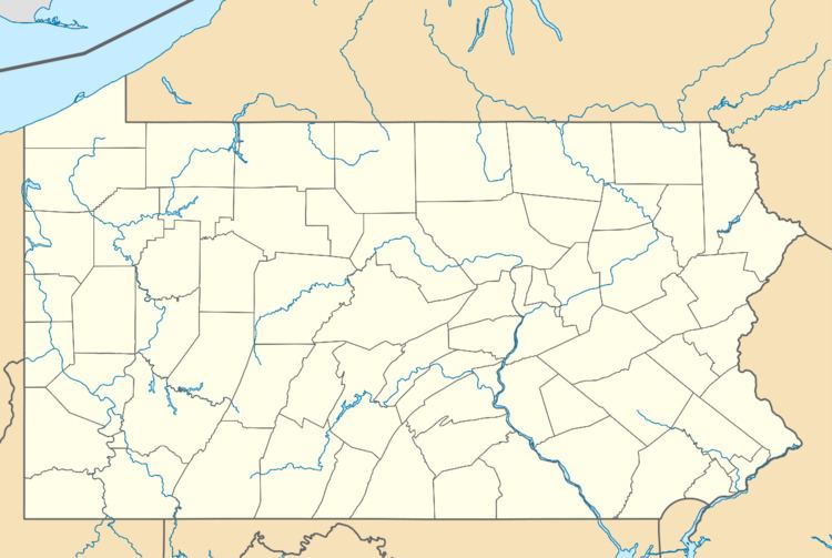
Quakertown Airport (IATA: UKT, ICAO: KUKT, FAA LID: UKT) is a public airport in Bucks County, Pennsylvania, owned by the Bucks County Airport Authority. It is two miles west of Quakertown, Pennsylvania and was dedicated on January 22, 1965. It is home to the Civil Air Patrol Squadron 904.
Contents
Airplane liftoff at quakertown airport
Facilities
Quakertown Airport covers 122 acres (49 ha) at an elevation of 526 feet (160 m). Its one runway, 11/29, is 3,201 by 50 feet (976 x 15 m) asphalt.
In the year ending September 4, 2008 the airport had 29,642 aircraft operations, average 81 per day: 99% general aviation and 1% air taxi. 88 aircraft were then based at the airport: 89% single-engine, 6% multi-engine, 2% jet, 1% helicopter and 2% ultralight.
References
Quakertown Airport Wikipedia(Text) CC BY-SA
