Area 64.17 km² | Local time Tuesday 3:11 AM | |
 | ||
Weather 20°C, Wind NE at 14 km/h, 89% Humidity Points of interest Seaport Art Center, Tzu Yun Yen, Wuci Fishery Harbor, Aofong Hill Observatory, Niumatou Site | ||
Qingshui District (Chinese: 清水區; pinyin: Qīngshuǐ Qū) is a coastal suburban district in western Taichung City, Taiwan. It is located at the foothills of Ao Feng mountain and faces the Taiwan Strait. Its neighbors are Dajia, Shalu, Waipu, Shengang, and Wuqi Districts. Gao-Mei marsh is its most famous natural attraction. It is a good place to research birds, plants, and the ecology of creatures in the marsh.
Contents
- Map of Qingshui District Taichung City Taiwan 436
- History
- Geography
- Administrative divisions
- Education
- Tourist attractions
- Transportation
- Notable natives
- References
Map of Qingshui District, Taichung City, Taiwan 436
History
The area was known previously as Gumatau (Chinese: 牛罵頭; Pe̍h-ōe-jī: Gû-mâ-thâu) and Gumasia (牛罵社; Gû-mâ-siā), which was a settlement of the Taiwanese Plains Aborigines. Also formerly called Chhau-chui-chng (臭水庄; Chhàu-chuí-chng). In 1920, the area became incorporated as Kiyomizu town (清水街), Taikō District, Taichu Prefecture.
Geography
Administrative divisions
Aofeng Village, Lingquan Village, Qingshui Village, Wenchang Village, Nanning Village, Xining Village, Beining Village, Zhongxing Village, Xishe Village, Nanshe Village, Yujia Village, Linjiang Village, Xiushui Village, Wulu Village, Haibin Village, Kanglang Village, Zhongshe Village, Gaoxi Village, Gaonan Village, Gaotung Village, Gaobei Village, Gaomei Village, Guoxing Village, Jingpu Village, Dingnan Village, Tianliao Village, Qiaotou Village, Xianan Village, Tungshan Village, Wucuo Village, Yangcuo Village, Haifeng Village.
Education
Tourist attractions
Transportation
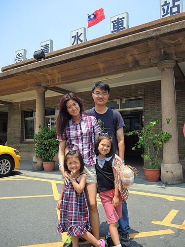
Qingshui can be accessed by the TRA Qingshui Station or Taichung Port Station on the Western Line. The National Highway 3 also passes through Qingshui, and the Qingshui rest station is located here.
