
Developer(s) QGIS Development Team Repository github.com/qgis/QGIS | Initial release July 2002 (2002-07) | |
 | ||
Stable release 2.18.2 (Las Palmas) / December 16, 2016; 2 months ago (2016-12-16) | ||
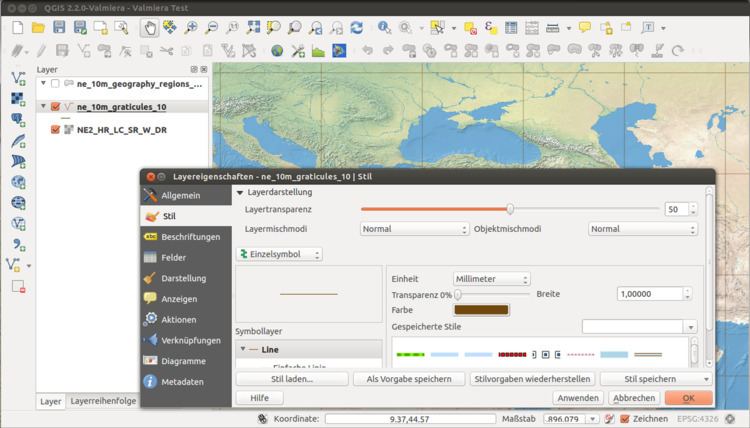
QGIS (previously known as Quantum GIS) is a cross-platform free and open-source desktop geographic information system (GIS) application that provides data viewing, editing, and analysis.
Contents
Functionality
Similar to other software GIS systems, QGIS allows users to create maps with many layers using different map projections. Maps can be assembled in different formats and for different uses. QGIS allows maps to be composed of raster or vector layers. Typical for this kind of software, the vector data is stored as either point, line, or polygon-feature. Different kinds of raster images are supported, and the software can georeference images.
Advanced functions
QGIS integrates with other open-source GIS packages, including PostGIS, GRASS GIS, and MapServer to give users extensive functionality. Plugins written in Python or C++ extend QGIS's capabilities. Plugins can geocode using the Google Geocoding API, perform geoprocessing using fTools, which are similar to the standard tools found in ArcGIS, and interface with PostgreSQL/PostGIS, SpatiaLite and MySQL databases.
Development
Gary Sherman began development of Quantum GIS in early 2002, and it became an incubator project of the Open Source Geospatial Foundation in 2007. Version 1.0 was released in January 2009.
Written in C++, QGIS makes extensive use of the Qt library. QGIS allows integration of plugins developed using either C++ or Python. In addition to Qt, required dependencies of QGIS include GEOS and SQLite. GDAL, GRASS GIS, PostGIS, and PostgreSQL are also recommended, as they provide access to additional data formats.
QGIS runs on multiple operating systems including Mac OS X, Linux, UNIX, and Microsoft Windows. For Mac users, the advantage of QGIS over GRASS GIS is that it does not require the X11 windowing system in order to run, and the interface is much cleaner and faster. QGIS can also be used as a graphical user interface to GRASS. QGIS has a small file size compared to commercial GIS's and requires less RAM and processing power; hence it can be used on older hardware or running simultaneously with other applications where CPU power may be limited.
QGIS is maintained by volunteer developers who regularly release updates and bug fixes. As of 2012, developers have translated QGIS into 48 languages and the application is used internationally in academic and professional environments.
Licensing
As a free software application under the GNU GPL, QGIS can be freely modified to perform different or more specialized tasks. Two examples are the QGIS Browser and QGIS Server applications, which use the same code for data access and rendering, but present different front-end interfaces. There are also numerous plug-ins available which expand the software's core functionality.
Data formats
QGIS supports dxf, shapefiles, coverages, and personal geodatabases. MapInfo, PostGIS, and a number of other formats. Web services, including Web Map Service and Web Feature Service, are also supported to allow use of data from external sources.
Adoption
A number of public and private organizations have adopted QGIS. Among others, these are the Austrian state of Vorarlberg, and the Swiss cantons of Glarus and Solothurn.
Mobile version
A mobile version of QGIS is currently being developed for Android. This version is optimized for touch, multitouch or stylus input. Geolocation of the mobile device can be used to create GIS features at the users current position.