
Founded March 16, 1956 Elevation 3,827 m (12,556 ft) | UBIGEO 2101 | |
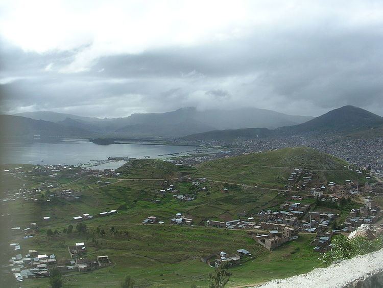 | ||
Puno is a province in the Puno Region, in southeastern Peru. It borders the provinces of Huancane, San Román, El Collao and the Moquegua Region's province of General Sánchez Cerro. Its capital is the city of Puno, which is located at the edge of Lake Titicaca, the world's highest navigable lake. This province is the economic powerhouse of the region.
Contents
Map of Puno, Peru
Geography
Some of the highest mountains of the province are listed below:
Political division
The province is divided into fifteen districts (Spanish: distritos, singular: distrito):
Ethnic groups
The province is inhabited by indigenous citizens of Aymara and Quechua descent. Spanish is the language which the majority of the population (45.40%) learnt to speak in childhood, 27.67% of the residents started speaking using the Quechua language and 26.50% using Aymara (2007 Peru Census).