
GNIS feature ID 195180 Local time Thursday 1:31 AM | Time zone MST (UTC-7) Elevation 1,635 m Area code 719 | |
 | ||
Weather 1°C, Wind NW at 10 km/h, 96% Humidity | ||
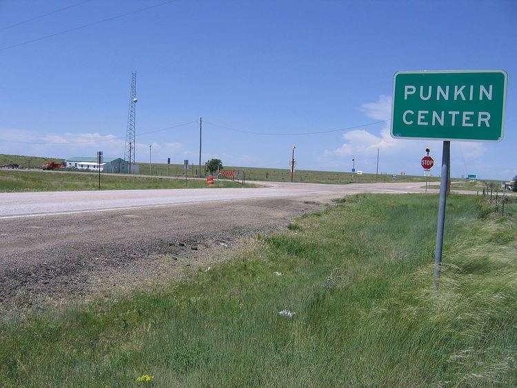
Punkin Center is a small, rural Unincorporated community in Lincoln County, Colorado, United States at the intersection of State Highway 94 and State Highway 71. John Stevens built the first store at the farmers crossroads in 1920. He painted each new building a pumpkin color, inspiring the name. Everything burned in the 1950s. Its mostly white population was 4 according to a Denver Post article. There is a communication tower near the intersection of the highways, and a larger communication tower about 3 miles southwest of the intersection. The Post Offices at Hugo (ZIP Code 80821) and Ordway (ZIP 81063) serve Punkin Center postal addresses.
Map of Punkin Center, Colorado 80833, USA
References
Punkin Center, Colorado Wikipedia(Text) CC BY-SA