
Country India PIN 110026 Local time Thursday 12:23 PM | State Delhi Time zone IST (UTC+5:30) Lok Sabha constituency New Delhi & West Delhi Nearest city Gurgaon | |
 | ||
Weather 35°C, Wind W at 16 km/h, 26% Humidity Colleges and Universities Shyama Prasad Mukherji College, Bhutta College of Education | ||
Punjabi Bagh is a locality in Delhi, India. It also is one of the three sub-zones of West Delhi.
Contents
- Map of Punjabi Bagh New Delhi Delhi
- Punjabi bagh delhi west l323
- History
- Development
- Geography
- Transport
- Place of Attraction
- References
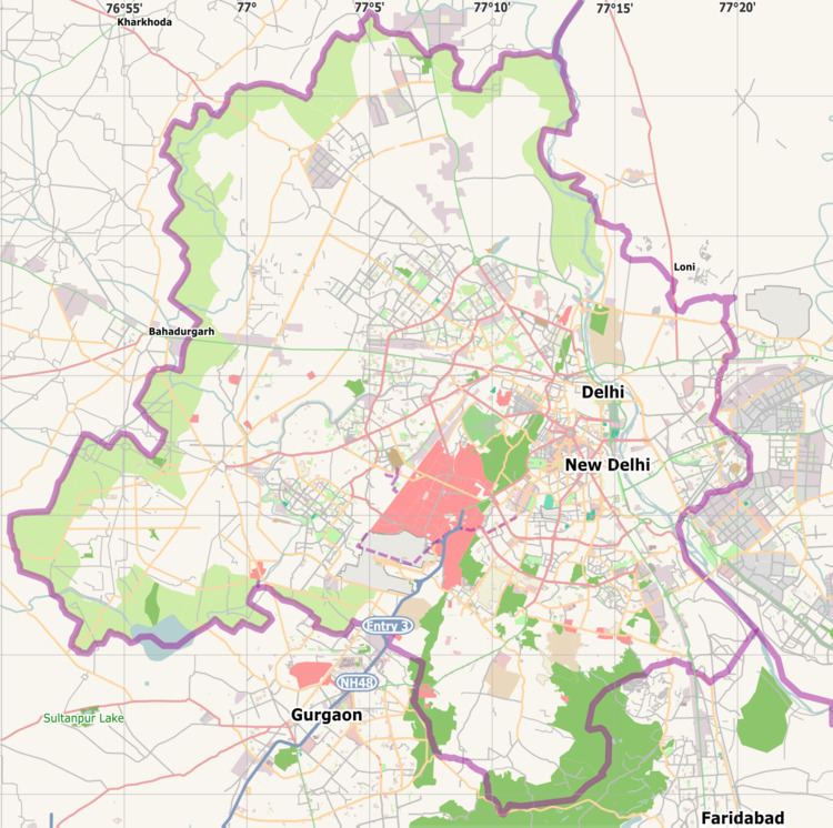
Map of Punjabi Bagh, New Delhi, Delhi
Punjabi bagh delhi west l323
History
It was previously called Refugees colony , but it was renamed as Punjabi Bagh in 1960.
In its earliest stages was settlement for Hindus and Sikhs who moved from West Punjab during the partition. Not much later it started becoming the locality for big bungalows of wealthy traders, businessman, and transporters. The area is famous for these huge bungalows mostly in the range of 280-550 square yards, some plots are in range of 1100-2200 square yards. It has also thus developed an image as a posh locality, mostly residential.
Development
Punjabi Bagh has seen rapid commercial growth since the mid-90s with the opening of innumerable banks, Salons, restaurants such as Domino's, KFC, Breads n More, McDonald's, Wok in the Clouds, Thai Wok, Bikanerwala, Cafe Pasha, etc. Other establishments include health clubs, ice cream shops, sportswear showrooms like Adidas, Nike, Reebok etc. Shri Krishan Janmashathmi Mahotsav Punjabi Bagh is celebrated at Punjabi Bagh Stadium (known as Traffic Training Park).
The colony mostly consists of private houses on the bungalow pattern and are so called "Kothis" (large bungalows). However apartments too exist. It houses some well known Delhi schools such as the S.M. ARYA Public School (Punjabi bagh), Hans Raj Model School, N C Jindal Public School (NCJPS), S.D. Public School (East Punjabi Bagh) and hospitals like Maharaja Agrasen Hospital, MGS Hospital and Oasis Homoeopathic Clinic & Pharmacy
Geography
Divided into 2 parts East and West by Ring Road. It is well connected to various parts of the city and has a fairly good bus network and roads. It is also well connected to the Metro with 2 stations right next to the main Punjabi Bagh Chowk also General store. The stations are Shivaji Park (Delhi Metro), Punjabi Bagh (Delhi Metro) both on Green Line (Delhi Metro) and upcoming metro station on Pink Link (Delhi Metro) of Delhi Metro.
The Western Part of Punjabi Bagh also has an ISKCON temple. ISKCON temple Punjabi Bagh is around 0.5 kilometres away from Punjabi Bagh Club on Road No.77(in the lane of mother’s pride school, it was established in September 2007. The temple is decorated with flowers and decorative material throughout the year.
Also, it is a hub of coaching institutes. Around 20 coaching institutes like Vidya Mandir Classes, FIITJEE, Narayana IIT Academy, Sehgal School of Competitions, etc. are located in Central Market. Over the recent years it has become an institutional hub, with many coaching institutes coming up in the central market.
For recreation and social gatherings there is a club called the Punjabi Bagh Club mainly for the residents offering a lot of facilities like swimming, Lawn Tennis, badminton, Roller skating, basketball, table tennis, squash, wedding lawns etc. It also has a well equipped gymnasium and rooms for arranging parties and kids entertainment.
Neighboring areas include Ashoka Park, Karampura, Paschim Vihar, Moti Nagar, Paschim Puri, Pitam Pura and Rajouri Garden
Transport
Inter-State Bus Terminal: 13 km;
Indira Gandhi International Airport Domestic Airport: 14 km;
Indira Gandhi International Airport International Airport: 16 km;
Connaught Place: 9 km;
New Delhi Railway Station: 10 km;
Old Delhi Railway Station: 11 km;
Place of Attraction
ISKCON Punjabi Bagh, Delhi
Punjabi Bagh Club
Punjabi Bagh Club Road
Starbucks
Monsoon Salon & Spa
[Budaniya Book Shop]
St. Mark's Church