
Elevation 3,356 m | ||
 | ||
Similar Atacazo, Chachimbiro, Mojanda, Pichincha Volcano, Cochiquito Volcanic Group | ||
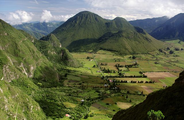
Pululagua (alternate spelling: Pululahua) is a dormant volcano in the north of Quito Canton, Pichincha Province, Ecuador. The volcano is in the Western Cordillera of the northern Ecuadorian Andes, approximately west-southwest of Mojanda and north of Casitahua volcanoes. Pululagua's caldera is approximately 5 km wide.
Map of Pululagua, Ecuador
The volcano is within an Ecuadorian national park known as Reserva Geobotánica Pululahua.
In 467 BCE, Pululagua erupted, sending volcanic ash over much of the western Ecuadorian lowland regions, which greatly reduced the expressions of Chorrera culture.
References
Pululagua Wikipedia(Text) CC BY-SA