
Country United States FIPS code 54-65956 Elevation 264 m Zip code 26421 Population 150 (2013) | Time zone Eastern (EST) (UTC-5) GNIS feature ID 1555422 Area 62 ha Local time Wednesday 10:51 PM Area code 304 | |
 | ||
Weather 8°C, Wind NE at 10 km/h, 64% Humidity | ||
Pullman is a town in Ritchie County, West Virginia, United States. The population was 154 at the 2010 census.
Contents
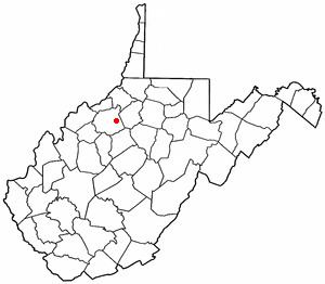
Map of Pullman, WV 26421, USA
Pullman was platted in 1883, and named after George Pullman, a businessperson in the rail industry.
Geography
Pullman is located at 39°11′17″N 80°57′6″W (39.188133, -80.951555).
According to the United States Census Bureau, the town has a total area of 0.24 square miles (0.62 km2), all of it land.
2010 census
As of the census of 2010, there were 154 people, 57 households, and 44 families residing in the town. The population density was 641.7 inhabitants per square mile (247.8/km2). There were 71 housing units at an average density of 295.8 per square mile (114.2/km2). The racial makeup of the town was 99.4% White and 0.6% from two or more races.
There were 57 households of which 31.6% had children under the age of 18 living with them, 64.9% were married couples living together, 5.3% had a female householder with no husband present, 7.0% had a male householder with no wife present, and 22.8% were non-families. 17.5% of all households were made up of individuals and 8.8% had someone living alone who was 65 years of age or older. The average household size was 2.70 and the average family size was 3.02.
The median age in the town was 40 years. 18.8% of residents were under the age of 18; 7.8% were between the ages of 18 and 24; 31.8% were from 25 to 44; 29.9% were from 45 to 64; and 11.7% were 65 years of age or older. The gender makeup of the town was 51.3% male and 48.7% female.
2000 census
As of the census of 2000, there were 169 people, 58 households, and 45 families residing in the town. The population density was 697.7 inhabitants per square mile (271.9/km²). There were 69 housing units at an average density of 284.9 per square mile (111.0/km²). The racial makeup of the town was 98.22% White, 0.59% African American and 1.18% Asian.
There were 58 households out of which 41.4% had children under the age of 18 living with them, 62.1% were married couples living together, 13.8% had a female householder with no husband present, and 22.4% were non-families. 20.7% of all households were made up of individuals and 6.9% had someone living alone who was 65 years of age or older. The average household size was 2.91 and the average family size was 3.38.
In the town, the population was spread out with 29.0% under the age of 18, 13.6% from 18 to 24, 26.6% from 25 to 44, 20.1% from 45 to 64, and 10.7% who were 65 years of age or older. The median age was 34 years. For every 100 females there were 103.6 males. For every 100 females age 18 and over, there were 100.0 males.
The median income for a household in the town was $19,821, and the median income for a family was $19,821. Males had a median income of $27,250 versus $18,750 for females. The per capita income for the town was $9,504. About 25.5% of families and 30.8% of the population were below the poverty line, including 18.2% of those under the age of eighteen and 27.8% of those sixty five or over.