
Province West Papua | ||
 | ||
Time zone Eastern Indonesian Time (UTC+09:00) | ||
Pulau Reni is a small Indonesian island located in the Ayu Archipelago above the northern tip of the Waigeo Islands.
Contents
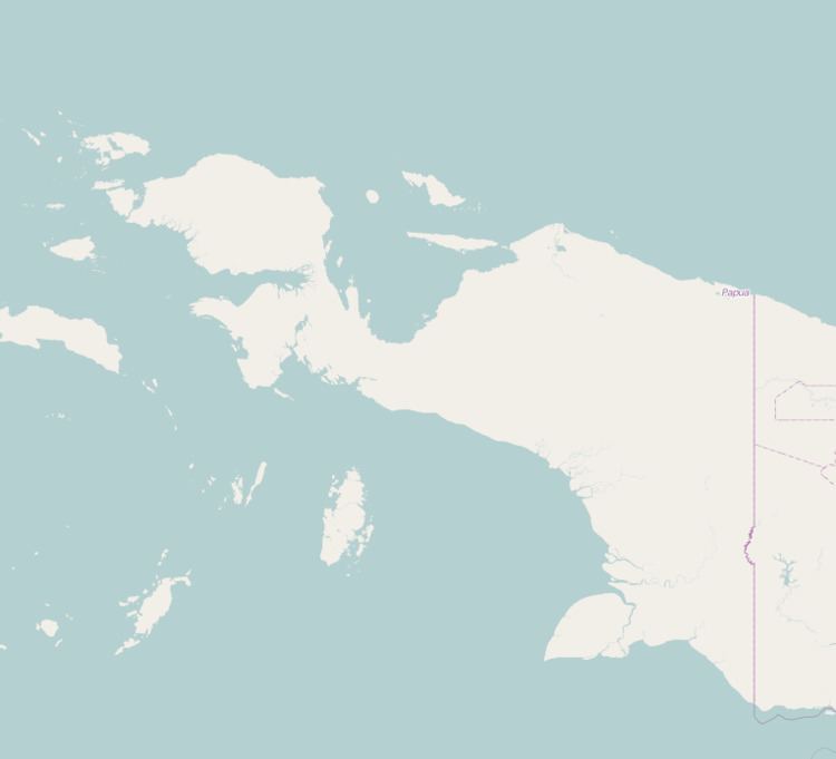
- Map of Reni Island Reni Kepulauan Ayau Raja Ampat Regency West Papua Indonesia
- World War II
- References
Map of Reni Island, Reni, Kepulauan Ayau, Raja Ampat Regency, West Papua, Indonesia
Pulau Reni is part of the Raja Ampat regency of the West Papua geographical and administrative region of Indonesia.
The island is surrounded by two large reefs.
Pulau Ayu and Pulau Kanobe are two other small inhabited islands south-west and south of Pulau Reni.
Pulau Reni lies 27 km (17 mi) north-east of Pulau Ayu and 11 km (6.8 mi) north of Pulau Kanobe.
Access to the island is limited to small boats due to the reefs and the small size of the island.
World War II
Pulau Reni and all the islands in the Ayu Archipelago were occupied by the Japanese Empire during World War II from 1942 until the end of the war in 1945.
References
Pulau Reni Wikipedia(Text) CC BY-SA