
Founded 1843 University Shawnee Community College | Area 525.8 km² Population 5,908 (2013) | |
 | ||
Cities | ||
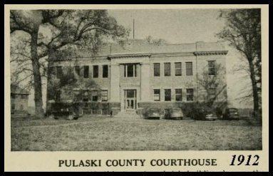
Pulaski County is a county located in the U.S. state of Illinois. According to the 2010 census, it had a population of 6,161. Its county seat is Mound City. It is located along the Ohio River in the portion of the state known locally as "Little Egypt".
Contents
- Map of Pulaski County IL USA
- History
- Geography
- Climate and weather
- Major highways
- Adjacent counties
- National protected area
- Demographics
- Cities
- Villages
- References
Map of Pulaski County, IL, USA
History
Pulaski County was formed on March 3, 1843, out of parts of Alexander and Johnson counties. It was named in honor of Kazimierz Pułaski who was killed at the Siege of Savannah in the Revolutionary War.
Geography
According to the U.S. Census Bureau, the county has a total area of 203 square miles (530 km2), of which 199 square miles (520 km2) is land and 4.0 square miles (10 km2) (2.0%) is water. It is the third-smallest county in Illinois by area.
Climate and weather
In recent years, average temperatures in the county seat of Mound City have ranged from a low of 26 °F (−3 °C) in January to a high of 90 °F (32 °C) in July, although a record low of −12 °F (−24 °C) was recorded in January 1985 and a record high of 104 °F (40 °C) was recorded in June 1954. Average monthly precipitation ranged from 3.04 inches (77 mm) in September to 4.76 inches (121 mm) in May.
Major highways
Adjacent counties
National protected area
Demographics
As of the 2010 United States Census, there were 6,161 people, 2,642 households, and 1,658 families residing in the county. The population density was 30.9 inhabitants per square mile (11.9/km2). There were 3,155 housing units at an average density of 15.8 per square mile (6.1/km2). The racial makeup of the county was 64.4% white, 32.4% black or African American, 0.4% American Indian, 0.2% Asian, 0.7% from other races, and 1.9% from two or more races. Those of Hispanic or Latino origin made up 1.6% of the population. In terms of ancestry, 15.1% were German, 6.8% were Irish, 6.6% were English, and 6.6% were American.
Of the 2,642 households, 27.3% had children under the age of 18 living with them, 43.6% were married couples living together, 14.3% had a female householder with no husband present, 37.2% were non-families, and 33.4% of all households were made up of individuals. The average household size was 2.32 and the average family size was 2.96. The median age was 43.2 years.
The median income for a household in the county was $31,173 and the median income for a family was $39,699. Males had a median income of $36,915 versus $29,007 for females. The per capita income for the county was $18,444. About 16.7% of families and 22.7% of the population were below the poverty line, including 32.0% of those under age 18 and 18.0% of those age 65 or over.