
Country Bolivia Capital La Rivera Area 785 km² | Time zone BOT (UTC-4) | |
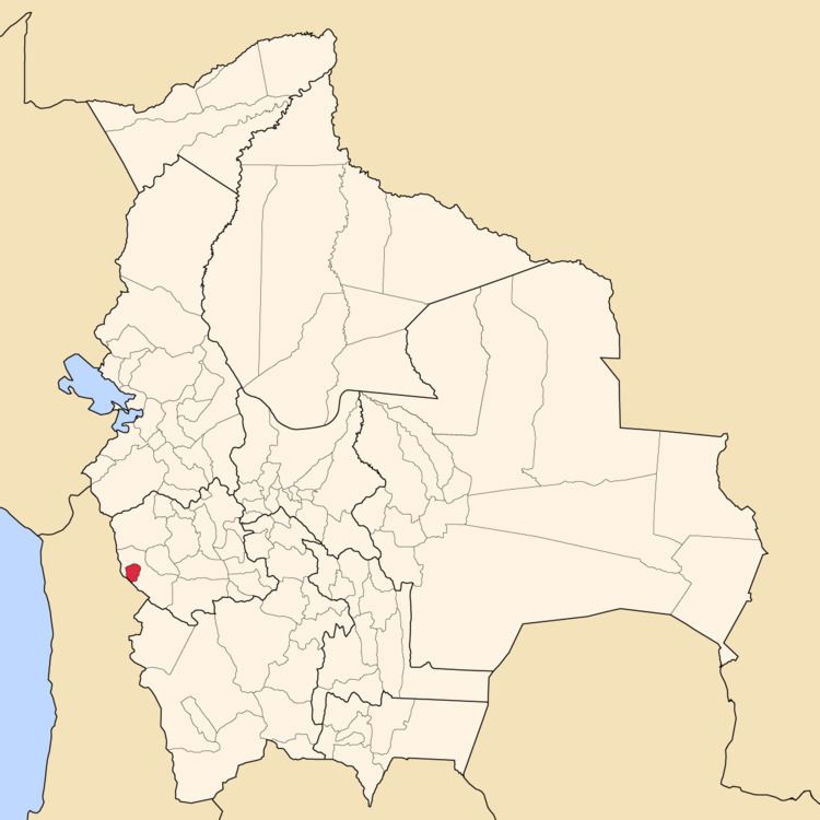 | ||
Puerto de Mejillones is a province in the western parts of the Bolivian department of Oruro. It is one of the sixteen provinces in the Oruro Department. Its seat is La Rivera.
Contents
Map of Puerto De Mejillones, Bolivia
Location
The province is located between 18° 53' and 19° 16' South and between 68° 10' und 68° 26' West. It is surrounded by Sabaya Province in the north, west and east, and it borders the Republic of Chile in the southwest. The province extends over 45 km from north to south, and 35 km from east to west.
Geography
Some of the highest mountains of the province are listed below:
Division
The province comprises three municipalities which are further subdivided into cantons.
Demographics
Main language of the province is Spanish, spoken by 97.0%, while 66.6% of the population speak Aymara and 8.6% Quechua (1992).
The population increased from 751 inhabitants (1992 census) to 1,130 (2001 census), an increase of 50%. - 42.6% of the population are younger than 15 years old (1992).
74% of the population have no access to electricity, 73% have no sanitary facilities (1992).
83.8% of the population are employed in agriculture, 1.0% in industry, 15.2% in general services (2001).
74% of the population are Catholics, 18% are Protestants (1992).