
Municipality Cotaca Population 3,141 (2009) | Local time Wednesday 5:57 PM | |
 | ||
Weather 28°C, Wind N at 8 km/h, 75% Humidity | ||
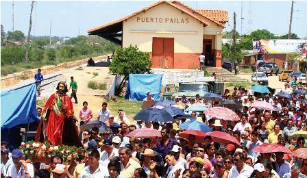
Puerto Pailas is a canton and town in the Santa Cruz Department in the South American Andean Republic of Bolivia.
Contents
Map of Puerto Pailas, Bolivia
Location
Puerto Pailas is the central town of Puerto Pailas Cantón and is located in Cotoca Municipality in Andrés Ibáñez Province. It is situated at an elevation of 297 m on the left banks of Río Grande, one of the longest rivers in the Bolivian lowlands, which is 1,200 m wide at this place and is spanned by a road bridge here.
Roads
Puerto Pailas is located 47 kilometers north-east of the departmental capital Santa Cruz. From Santa Cruz the tarmac road Ruta 4/Ruta 9 goes east through Cotoca to Puerto Pailas where it crosses the Río Grande and reaches Pailón on the river's eastern banks. From Pailón, Ruta 4 goes further east for another 587 km before it reaches Puerto Suárez on the Brazilian border, while Ruta 9 goes north to Guayaramerin after 1175 km.
At Puerto Pailas, a dirt road leaves the Rutas 4 and 9 in north-westerly direction and goes 4 km to the neighbouring town Montero Hoyos.
Population
The population of the place has increased rapidly over the past two decades.
The town had 1,621 inhabitants at the 1992 census, then 2,301 at the 2001 census, and has now 3,141 inhabitants (2009 est.).
Due to the population movements over the past decades, the region has a certain amount of Quechua population, in Puerto Pailas Municipality 17.8 percent of the population speak the Quechua language.