
Postal code 265 00 Elevation 5 m Municipal unit Rio | Time zone EET (UTC+2) Vehicle registration AX Local time Wednesday 3:30 AM Administrative region Western Greece | |
 | ||
Weather 9°C, Wind NE at 6 km/h, 61% Humidity | ||
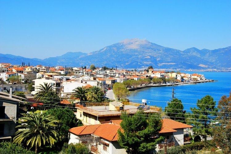
Psathopyrgos (Greek: Ψαθόπυργος) is a tourist village and community in the municipal unit of Rio in the northern part of Achaea, Greece. Psathopyrgos is located on the Gulf of Corinth, southeast of Cape Drepano, the northernmost point of the Peloponnese peninsula. It is 2 km northeast of Drepano and 9 km northeast of Rio. The Greek National Road 8A (Patras - Aigio - Corinth) and the railway from Patras to Corinth pass south of the village. The community Psathopyrgos consists of the villages Psathopyrgos and Kato Rodini.
Map of Psathopyrgos 265 04, Greece
References
Psathopyrgos Wikipedia(Text) CC BY-SA