
Car plates WPY Population 43,822 (2006) | Area 800.7 km² | |
 | ||
Gminas Total 8Gmina BorkowiceGmina GielniówGmina KlwówGmina OdrzywółGmina PotworówGmina PrzysuchaGmina RusinówGmina Wieniawa Website | ||
Przysucha County (Polish: powiat przysuski) is a unit of territorial administration and local government (powiat) in Masovian Voivodeship, east-central Poland. It came into being on January 1, 1999, as a result of the Polish local government reforms passed in 1998. Its administrative seat and only town is Przysucha, which lies 98 kilometres (61 mi) south of Warsaw.
Contents
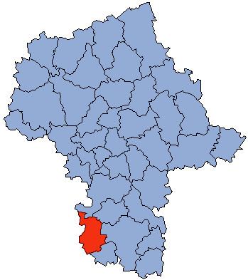
Map of Przysucha County, Poland
The county covers an area of 800.68 square kilometres (309.1 sq mi). As of 2006 its total population is 43,822, out of which the population of Przysucha is 6,245 and the rural population is 37,577.
Neighbouring counties
Przysucha County is bordered by Grójec County to the north, Białobrzegi County to the north-east, Radom County to the east, Szydłowiec County to the south-east, Końskie County to the south-west, and Opoczno County and Tomaszów Mazowiecki County to the west.
Administrative division
The county is subdivided into eight gminas (one urban-rural and seven rural). These are listed in the following table, in descending order of population.