
Car plates WPR | Seat Pruszków Area 246.3 km² | |
 | ||
Gminas Total 6 (incl. 2 urban)PiastówPruszkówGmina BrwinówGmina MichałowiceGmina NadarzynGmina Raszyn Points of interest Motor‑ und Technikmuseum in Otrębusy, Park Potulickich, Muzeum Starożytnego Hutnictwa, Sala zabaw Tęcza, Lasy Sękocińskie Destinations | ||
Pruszków County (Polish: powiat pruszkowski) is a unit of territorial administration and local government (powiat) in Masovian Voivodeship, east-central Poland. It came into being on January 1, 1999, as a result of the Polish local government reforms passed in 1998. Its administrative seat and largest town is Pruszków, which lies 15 kilometres (9 mi) west of Warsaw. The county also contains the towns of Piastów, lying 4 km (2 mi) north-east of Pruszków, and Brwinów, 7 km (4 mi) south-west of Pruszków.
Contents
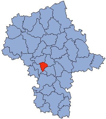
Map of Pruszk%C3%B3w County, Poland
The county covers an area of 246.31 square kilometres (95.1 sq mi). As of 2006 its total population is 145,870, out of which the population of Pruszków is 55,387, that of Piastów is 23,273, that of Brwinów is 11,968, and the rural population is 55,242.
Neighbouring counties
Pruszków County is bordered by Warsaw West County to the north, the city of Warsaw to the east, Piaseczno County to the south-east and Grodzisk Mazowiecki County to the west.
Administrative division
The county is subdivided into six gminas (two urban, one urban-rural and three rural). These are listed in the following table, in descending order of population.