
Country Poland Gmina Piastów (urban gmina) Town rights 1952 Area 5.83 km² Local time Friday 9:52 AM | County Pruszków Established 16th century as Żdżary Time zone CET (UTC+1) Population 22,826 (2014) Voivodeship Masovian Voivodeship | |
 | ||
Weather 14°C, Wind W at 18 km/h, 73% Humidity | ||
Piastów [ˈpʲastuf] is a town in central Poland, near Warsaw, with 23,331 inhabitants (2006 est). It is situated in the Masovian Voivodship (since 1999); previously, it was in Warszawa Voivodship (1975–1998). With 3963 persons/km², it is the second most densely populated city in Poland (after Świętochłowice).
Map of Piast%C3%B3w, Poland
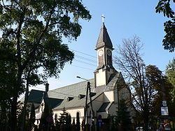
In the Middle Age, the villages of Żdżary and Utrata existed in the place of today's' Piastów. Piastów is served by Piastów railway station.
References
Piastów Wikipedia(Text) CC BY-SA