
Length 234.6 km | ||
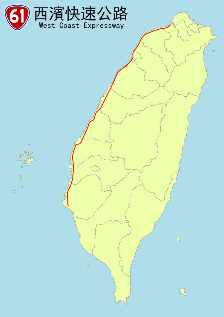 | ||
South end: City Road 176 in Qigu, Tainan City | ||
Provincial Highway No. 61 is usually known as West Coast Expressway (西部濱海快速公路). The highway runs along the west coast of Taiwan. Several sections of the highway are freeway standards with no at-grade intersections, while the rest are local highway standards. There are several sections open for the traffic. Others are still under construction.
Contents
- Map of Taiwan E58FB061E7B79A
- Length
- Major cities along the route
- Exit list
- Intersections with other freeways and expressways
- Provincial Highway 61A
- Provincial Highway 61B
- Note
- References
Map of Taiwan, %E5%8F%B061%E7%B7%9A
Length
As of December 2013, the following sections have been completed:
Major cities along the route
Exit list
Intersections with other freeways and expressways
Provincial Highway 61A
Provincial Highway No. 61A starts at the Port of Taipei and ends at an interchange with Provincial Highway 15. It connects PH 61 to the Port of Taipei. It is 2.888 kilometres (1.795 mi) long.
Exit list
The entire route is in Bali, New Taipei City.
Provincial Highway 61B
Provincial Highway No. 61B (Changhua Coastal Industrial Park - Hemei IC.) is one of two branch lines of Provincial Highway No. 61. It starts at Shengang Township and ends at National Highway No. 3 Hemei Interchange, Changhua County, which connects National Highway No. 3 and No. 61. Its length is 6.5 km.
Note
The first portion of the expressway was between Xiangshan, Hsinchu and Baishantun. It was used to connect the northern section National Highway No. 3 at Xiangshan IC.