
Area rank Ranked | ||
 | ||
Demonym(s) Spanish: Malagueño, Malacitano | ||
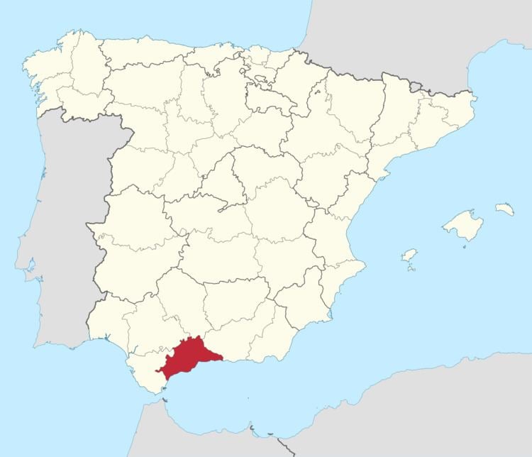
The Province of Málaga (Spanish: Provincia de Málaga, [ˈmalaɣa]) is located on the southern mediterranean coast of Spain, in Andalusia. It is bordered by the Mediterranean Sea to the south and by the provinces of Cádiz, Granada, Córdoba, and Seville.
Contents
Map of M%C3%A1laga, Spain
Overview
Its area is 7,308 km² and its population is 1,652,999 (2013), which is concentrated mainly in the metropolitan area of Málaga, province capital, and throughout the coastal area. The population density surpasses both the Andalusia and Spanish averages, reaching 222.53 hab/km². Málaga contains 102 municipalities. Besides the capital, its main cities are Marbella, Mijas, Fuengirola, Vélez-Málaga, Torremolinos, Estepona, and Benalmádena, all in the coastal zone. The towns of Antequera and Ronda are located in the interior.
The prevailing climate is a warm Mediterranean with dry and warm, long summers with short, mild winters. The geographical relief varies greatly from zone to zone. In general, the coastal zone has a subtropical Mediterranean climate. To the north, a continental Mediterranean climate exists with cold, dry winters and warm summers.
Its main industry and claim to fame is its tourist resorts, particularly those on the beaches along the Costa del Sol ("Sun Coast"). These beaches are visited by millions of European tourists; other attractions include the gorge of El Chorro near Álora, the Torcal de Antequera, the Moorish-Mudéjar district of Frigiliana, the Dolmen of Menga, and the Caves of Nerja.