
Type eutrophic Primary outflows South River Max. length 1.7 mi (2.7 km) Surface elevation 146 m Length 2.7 km Outflow location South River | Primary inflows Basin countries United States Area 3.913 km² Mean depth 2.74 m Width 2.3 km | |
 | ||
Catchment area 7.1 square miles (18 km) Cities Wakefield, Effingham, Parsonsfield | ||
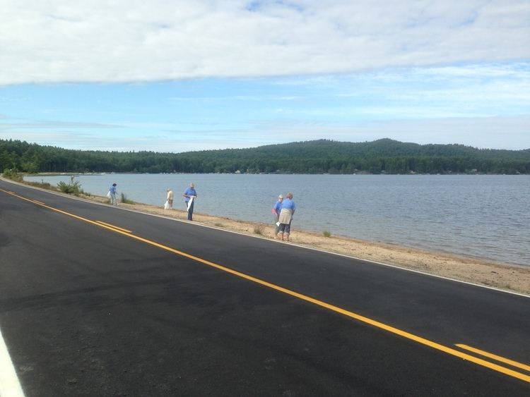
Province Lake is a 968-acre (392 ha) water body located on the border between New Hampshire and Maine in the United States. Approximately 950 acres (380 ha) of the lake lie in the towns of Effingham and Wakefield, New Hampshire, with the remainder in Parsonsfield, Maine. Its outlet is the South River, flowing north to the Ossipee River, a tributary of the Saco River.
Map of Province Lake, United States
Province Lake's maximum depth is between 15 and 17 feet (4.6 and 5.2 m), quite shallow for a New Hampshire lake, so there are no coldwater fish within. It is fed by several wetland areas, one named stream (Hobbs Brook), and by underwater springs. The quality of the water is high. The lake is classified as a warmwater fishery, with observed species including smallmouth and largemouth bass, chain pickerel, and horned pout. Loons, an eagle, great blue heron, and occasional mergansers are seen at the lake.