
Time zone EET (UTC+2) Area code(s) +30-231x-xxx-xxx | Elevation 65 m (213 ft) Postal code 570 11 Vehicle registration NAx-xxxx to NXx-xxxx | |
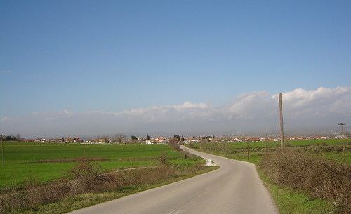 | ||
Prochoma (Greek: Πρόχωμα, ['pɾoxoma]) is a village and a community of the Chalkidona municipality. Before the 2011 local government reform it was part of the municipality of Koufalia, of which it was a municipal district. The 2011 census recorded 1,214 inhabitants in the village and 2,440 inhabitants in the community. The community of Prochoma covers an area of 38.537 km2.
Contents
Map of Prochoma 570 11, Greece
Administrative division
The community of Prochoma consists of three communities:
The aforementioned population figures are as of 2011.
History
The population of Prochoma consists of Greek refugees from Pontus. The village was named Dogantzi until 1926.
References
Prochoma Wikipedia(Text) CC BY-SA