
Airport type Public Elevation AMSL 3,250 ft / 991 m 5,751 1,753 Phone +1 541-416-0805 | 10/28 5,751 Elevation 991 m | |
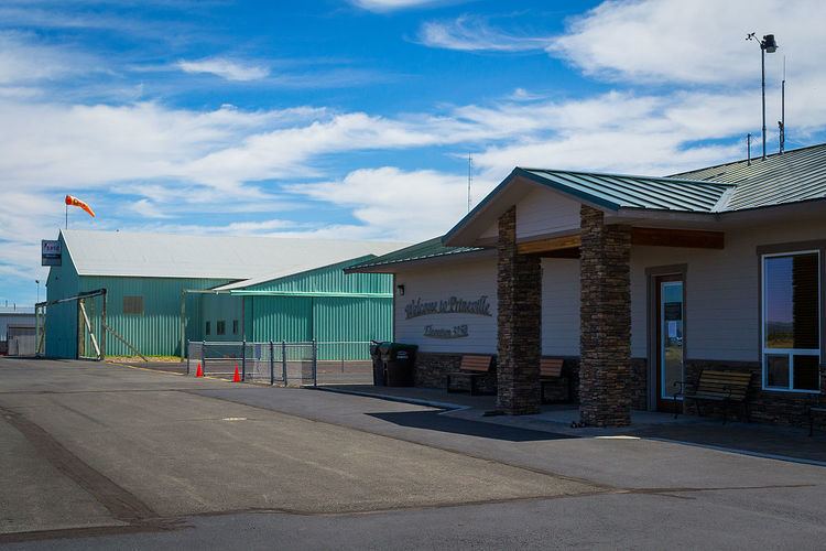 | ||
Owner Prineville Airport Commission Address 4585 Airport Way, Prineville, OR 97754, USA | ||
Prineville airport receives connectoregon grant
Prineville Airport (IATA: PRZ, FAA LID: S39) is a public use airport located three nautical miles (6 km) southwest of the central business district of Prineville, in Crook County, Oregon, United States. According to the FAA's National Plan of Integrated Airport Systems for 2009–2013, it is classified as a general aviation airport.
Contents
- Prineville airport receives connectoregon grant
- Prineville airport s39 landing rwy 28
- Facilities and aircraft
- References
Prineville airport s39 landing rwy 28
Facilities and aircraft
Prineville Airport covers an area of 940 acres (380 ha) at an elevation of 3,250 feet (991 m) above mean sea level. It has two asphalt paved runways: 10/28 is 5,751 by 75 feet (1,753 x 23 m) and 15/33 is 4,031 by 40 feet (1,229 x 12 m).
For the 12-month period ending December 31st, 2013, the airport had 45,672 aircraft operations, an average of 125 per day: 96% general aviation, 3% air taxi, and 1% military. At that time there were 114 aircraft based at this airport: 79% single-engine, 5% multi-engine, 2% jet, 1% helicopter and 13% ultralight. flyprineville.com