
Region North Coast Area 2,251 km² | Province British Columbia | |
 | ||
Location North Coast Archipelago (Central Coast) | ||
Princess royal island intro p 1
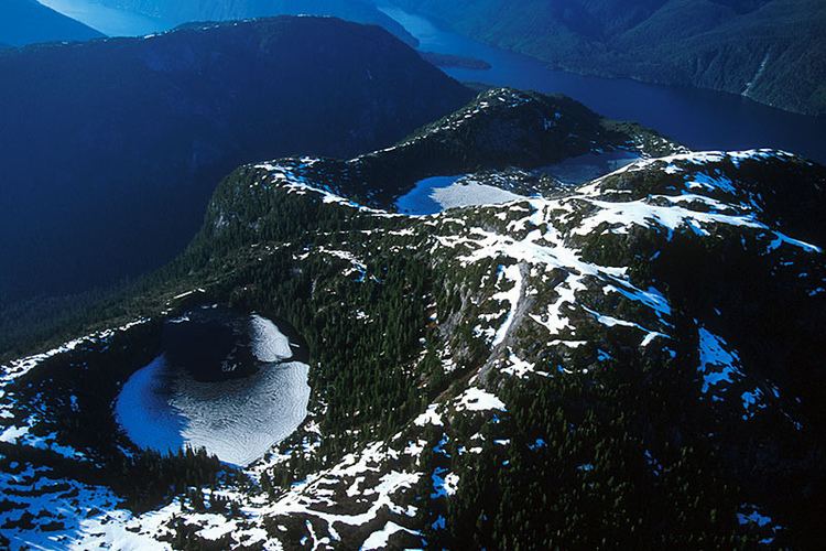
Princess Royal Island is the largest island on the North Coast of British Columbia, Canada. It is located amongst the isolated inlets and islands east of Hecate Strait on the British Columbia Coast. At 2,251 square kilometres (869 sq mi), it is the fourth largest island in British Columbia. Princess Royal Island was named in 1788 by Captain Charles Duncan, after his sloop, the Princess Royal.
Contents
- Princess royal island intro p 1
- Map of Princess Royal Island Kitimat Stikine C Part 2 BC Canada
- spirit bear sparring on princess royal island
- Access and settlements
- Indian reserves
- History
- Geography
- Ecology and environment
- References
Map of Princess Royal Island, Kitimat-Stikine C (Part 2), BC, Canada
spirit bear sparring on princess royal island
Access and settlements
The island is located in an extremely remote area of British Columbia, 520 kilometres (320 mi) north of Vancouver and 200 kilometres (120 mi) south of Prince Rupert. It is accessible only by boat or air. The Inside Passage ferry and shipping lane runs along its eastern flank, in Princess Royal Channel separating it from the mainland. The island is uninhabited, but used to be home to the community of Surf Inlet, a gold-mining town at the inlet of the same name (though also known as Port Belmont or Belmont), and Butedale, a mining, cannery, fishing and logging town on the island's east coast. The nearest communities today are Klemtu, on Swindle Island and Hartley Bay, on the mainland shore east of Gil Island.
Indian reserves
Indian reserves on or adjacent to Princess Royal Island are:
History
Twelve of the 17 crew of U.S. Air Force 44-92075 were found alive here in 1950, during the first lost nuclear/Broken Arrow episode of the Cold War. The plane itself flew north after the crew bailed out, crashing on Mount Kologet, east of the Nass River to the northwest of Hazelton.
Geography
The island's northern tip is Trivett Point, its northwestern tip is Kingcome Point.
The Canoona River drains the central part of the island, flowing east to the sea from Canoona Lake.
Ecology and environment
The island is classified by the World Wildlife Fund as part of their system's Pacific temperate rain forest ecoregion. In the ecoregion system used by Environment Canada, the island is in the Pacific Maritime Ecozone. In the system of biogeoclimatic zones used by the British Columbia Ministry of Forests, the island is part of the Coastal Western Hemlock zone.
Wildlife on Princess Royal Island includes kermode bears, black bears, grizzly bears, deer, wolves and foxes, and nesting populations of golden eagles, bald eagles, and the endangered marbled murrelet. Marine life around the island includes abundant salmon, elephant seals, orcas and porpoises. Princess Royal Island is a core component of a regional preservationist campaign covering the North and Central Coast, which has been dubbed the Great Bear Rainforest by environmental groups.