
OS grid reference SO289976 Post town MONTGOMERY Local time Sunday 8:00 PM | Sovereign state United Kingdom Postcode district SY15 Dialling code 01938 | |
 | ||
Weather 11°C, Wind E at 18 km/h, 75% Humidity | ||
Priestweston (or Priest Weston) is a small village in the civil parish of Chirbury with Brompton, Shropshire, England, lying in the Welsh Marches. Its name is based on the Old English for "western settlement (tun)", with the affix priest in reference to the estate of the Prior of Chirbury at Weston Parva. It was mentioned in Domesday, and later became part of the possessions of the Botterell family.
Map of Priest Weston, Montgomery, UK
The village is located near to the English-Welsh border, at the foot of Corndon Hill. Due to a quirk of the border geography in the area of Corndon Hill, the nearest village in Wales, White Grit, lies to the east of Priestweston.
Second World War Victoria Cross winner John Brunt was born there in 1922 and his family lived there before moving to near Whittington some six years later. An outdoor memorial plaque to his memory was put up in the village in May 2004.
The village church at Middleton-in-Chirbury is located a mile from Priestweston.
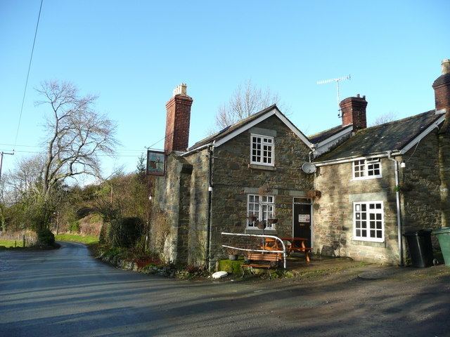
A megalithic stone circle known as Mitchell's Fold is located on nearby Stapeley Hill, and there was once a second circle, known as the Whetstones, a short distance to the east. There is also a traditional pub, The Miner's Arms.
National Cycle Route 44 passes through the village.