
Website www.co.price.wi.us Area 3,310 km² | Founded 1879 Population 13,802 (2013) | |
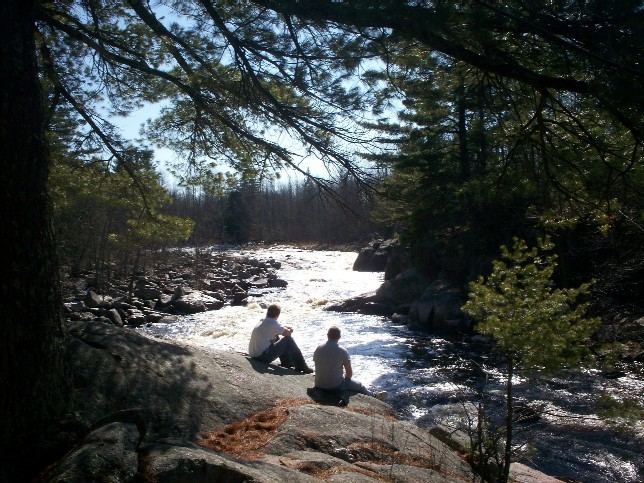 | ||
Rivers Somo River, Ritchie Creek, Black Brook, Willow River Points of interest Timms Hill, Timm's Hill County Park, Solberg Lake County P, Wisconsin Concrete Park, Memorial Grove Hemlocks | ||
Price County is a county in the U.S. state of Wisconsin. As of the 2010 census, the population was 14,159. Its county seat is Phillips.
Contents
- Map of Price County WI USA
- History
- Geography
- Airports
- National protected area
- Demographics
- Cities
- Villages
- Census designated place
- Ghost towns
- References
Map of Price County, WI, USA
History
Price County was created on March 3, 1879, when Wisconsin Governor William E. Smith signed legislation creating the county. The county was later organized in 1882. William T. Price (1824–1886), for whom Price County was named, was President of Wisconsin Senate and an early logger in Price County; he later was elected to the U.S. Congress. The county was formed from portions of Chippewa and Lincoln counties.
The first white settler in what is now Price County was Major Isaac Stone, who located on the Spirit River in 1860 to engage in lumbering.
Geography
According to the U.S. Census Bureau, the county has a total area of 1,278 square miles (3,310 km2), of which 1,254 square miles (3,250 km2) is land and 24 square miles (62 km2) (1.9%) is water. The highest natural point in Wisconsin, Timms Hill at 1,951 feet (595 m), is located in Price County.
Airports
National protected area
Demographics
As of the census of 2000, there were 15,822 people, 6,564 households, and 4,417 families residing in the county. The population density was 13 people per square mile (5/km²). There were 9,574 housing units at an average density of 8 per square mile (3/km²). The racial makeup of the county was 98.22% White, 0.10% Black or African American, 0.60% Native American, 0.30% Asian, 0.03% Pacific Islander, 0.15% from other races, and 0.60% from two or more races. 0.73% of the population were Hispanic or Latino of any race. 44.4% were of German, 6.5% Norwegian, 5.9% Swedish, 5.4% Polish, 5.2% Irish and 5.0% Czech ancestry according to Census 2000.
There were 6,564 households out of which 28.90% had children under the age of 18 living with them, 56.50% were married couples living together, 6.60% had a female householder with no husband present, and 32.70% were non-families. 28.50% of all households were made up of individuals and 14.50% had someone living alone who was 65 years of age or older. The average household size was 2.37 and the average family size was 2.91.
In the county, the population was spread out with 23.80% under the age of 18, 5.80% from 18 to 24, 25.80% from 25 to 44, 25.70% from 45 to 64, and 18.80% who were 65 years of age or older. The median age was 42 years. For every 100 females there were 101.00 males. For every 100 females age 18 and over, there were 99.00 males.