
Urban-type settlements 2 Area 4,740 km² | Rural localities 20 | |
 | ||
Municipally incorporated as | ||
Priargunsky District (Russian: Приаргунский райо́н) is an administrative and municipal district (raion), one of the thirty-one in Zabaykalsky Krai, Russia. It is located in the southeast of the krai, and borders with Kalgansky District in the north, and with Krasnokamensky District in the south. The area of the district is 5,100 square kilometers (2,000 sq mi). Its administrative center is the urban locality (an urban-type settlement) of Priargunsk. Population: 21,831 (2010 Census); 26,959 (2002 Census); 29,120 (1989 Census). The population of Priargunsk accounts for 33.8% of the district's total population.
Contents
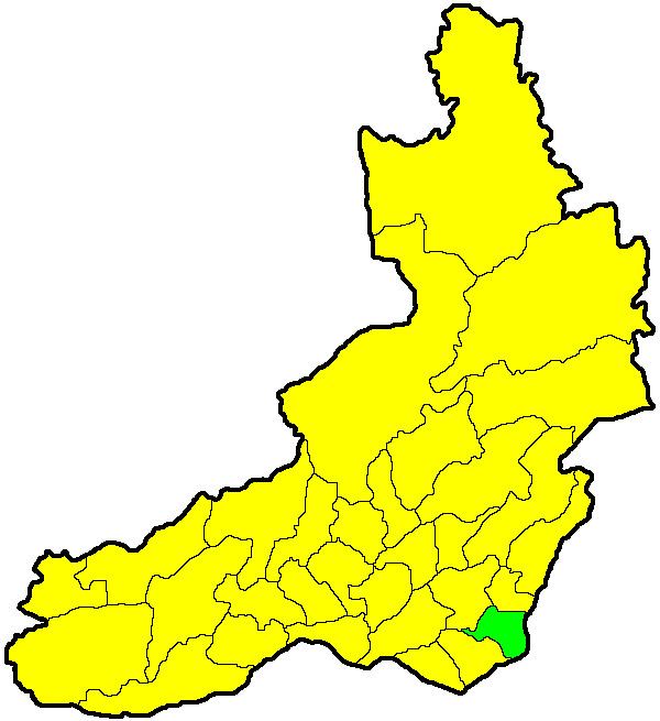
Map of Priargunskiy r-n, Zabaykalsky Krai, Russia
History
The district was established on March 30, 1962.
References
Priargunsky District Wikipedia(Text) CC BY-SA