
Administrative center selo of Kalga Urban settlements 0 | Rural localities 12 Area 3,140 km² | |
 | ||
Municipally incorporated as | ||
Kalgansky District (Russian: Калганский район) is an administrative and municipal district (raion), one of the thirty-one in Zabaykalsky Krai, Russia. It is located in the southeast of the krai and borders Nerchinsko-Zavodsky District in the north, Priargunsky District in the south, and Alexandrovo-Zavodsky District in the west. The area of the district is 2,900 square kilometers (1,100 sq mi). Its administrative center is the rural locality (a selo) of Kalga. As of the 2010 Census, the total population of the district was 8,771, with the population of Kalga accounting for 39.1% of that number.
Contents
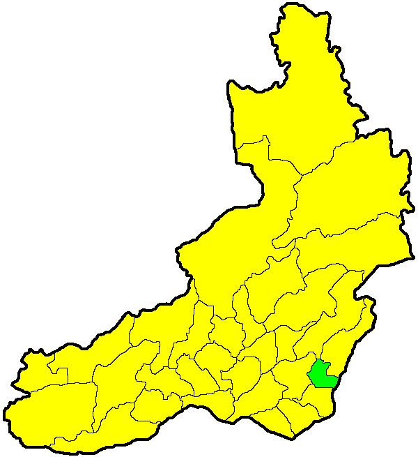
Map of Kalganskiy r-n, Zabaykalsky Krai, Russia
History
The district was established on December 8, 1942.
References
Kalgansky District Wikipedia(Text) CC BY-SA