
 | ||
Prestoy Point (Bulgarian: нос Престой, ‘Nos Prestoy’ \'nos pre-'stoy) is the sharp point projecting 800 m into the head of Barilari Bay on Graham Coast in Graham Land, Antarctica, formed by an offshoot of Mount Genecand. The point is named after the settlement of Prestoy in Northern Bulgaria.
Contents
Location
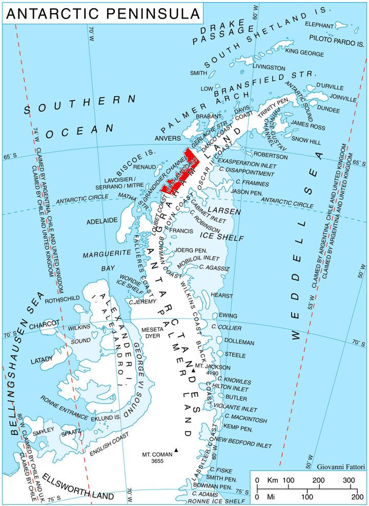
Prestoy Point is located at 66°02′05″S 64°38′41″W, which is 11.3 km southeast of Vorweg Point, 14.5 km south-southwest of Duyvis Point and 8.4 km north by west of the summit point of Mount Genecand. British mapping in 1976.
Maps
References
Prestoy Point Wikipedia(Text) CC BY-SA