
Vehicle registration TR Local time Sunday 4:04 AM | Time zone IST (UTC+5:30) Website tripura.gov.in Population 25,890 (2001) | |
 | ||
Weather 23°C, Wind E at 5 km/h, 86% Humidity University Bir Bikram Memorial College | ||
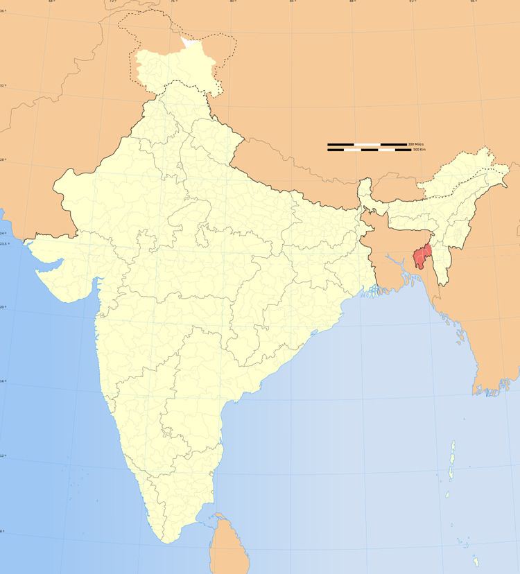
Pratapgarh is a census town in West Tripura district in the Indian state of Tripura.
Contents
Map of Pratapgarh, Agartala, Tripura
Geography
Pratapgarh is located at 23.81°N 91.30°E / 23.81; 91.30.
Demographics
As of 2001 India census, Pratapgarh had a population of 25,890. Males constitute 51% of the population and females 49%. Pratapgarh has an average literacy rate of 72%, higher than the national average of 59.5%: male literacy is 77%, and female literacy is 67%. In Pratapgarh, 11% of the population is under 6 years of age.
Politics
Pratapgarh assembly constituency is part of Tripura West (Lok Sabha constituency).
References
Pratapgarh, Tripura Wikipedia(Text) CC BY-SA