
Country United States Elevation 468 m Local time Saturday 3:51 PM | GNIS feature ID 0472108 Area 95.95 km² Population 172 (2000) | |
 | ||
Weather 6°C, Wind N at 19 km/h, 93% Humidity | ||
Prairie Township is a township in Jewell County, Kansas, USA. As of the 2000 census, its population was 172.
Contents
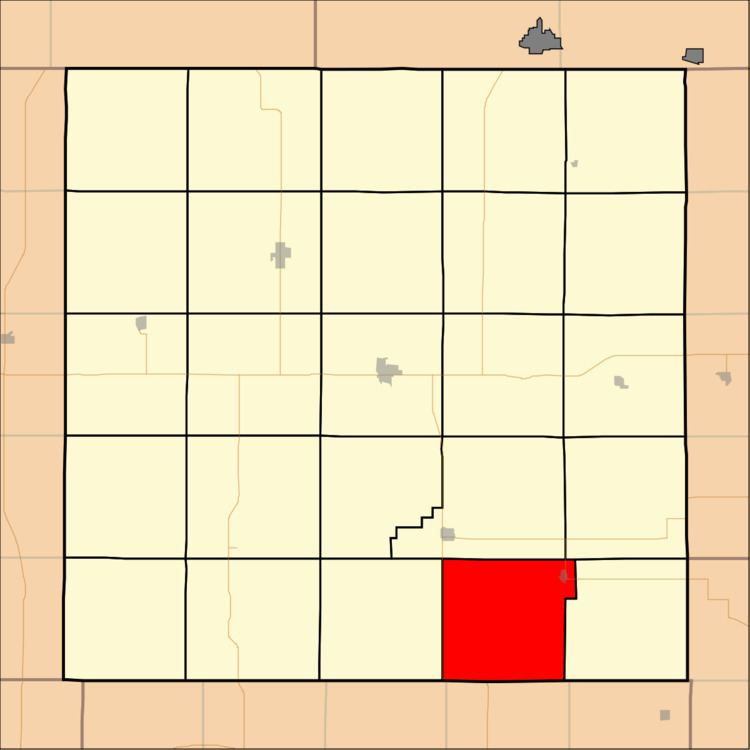
Map of Prairie, KS, USA
Geography
Prairie Township covers an area of 37.05 square miles (95.95 square kilometers); of this, 0.01 square miles (0.01 square kilometers) or 0.01 percent is water. The streams of Dry Creek, Dry Creek, East Buffalo Creek, Spring Creek and West Buffalo Creek run through this township.
Cities and towns
Adjacent townships
Cemeteries
The township contains two cemeteries: Pleasant Prairie and Star.
Major highways
References
Prairie Township, Jewell County, Kansas Wikipedia(Text) CC BY-SA