
Population 128 Civil parish Yeo Head Local time Saturday 4:32 PM | OS grid reference ST650200 Sovereign state United Kingdom Dialling code 01963 | |
 | ||
Weather 13°C, Wind NE at 26 km/h, 41% Humidity | ||
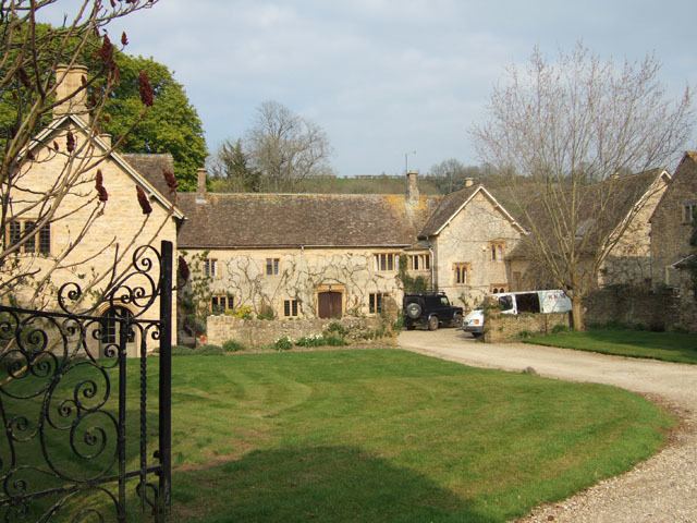
Poyntington is a village and civil parish in the county of Dorset in South West England. It lies within the West Dorset administrative district, on the edge of the Blackmore Vale about 2 miles (3.2 km) north of Sherborne. In the 2011 census the parish had a population of 128.
Contents
Map of Poyntington, Sherborne, UK
Poyntington shares a grouped parish council, Yeohead & Castleton Parish Council, with the three village parishes of Castleton, Goathill and Oborne. Historically the village was part of the hundred of Horethorne in neighbouring Somerset.
All Saints' Church has grown from an Anglo-Saxon two-room design and contains original Norman work. Murals on pillars were discovered in 1848 but were destroyed by their exposure. Two stained-glass windows date from the fourteenth century. An unusual addition is a carving of an angel's wing which was blown off Amiens Cathedral in World War I and then donated to the church.