
Basin area 56,656 km² Discharge 15.8 m³/s | - elevation 4,564 ft (1,391 m) - elevation 2,241 ft (683 m) Length 604 km | |
 | ||
Bridges EAU Arvada Bridge, EBF Bridge over Powder River, CKW Bridge over Powder River | ||
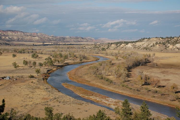
Powder River is a tributary of the Yellowstone River, approximately 375 miles (604 km) long in northeastern Wyoming and southeastern Montana in the United States. It drains an area historically known as the Powder River Country on the high plains east of the Bighorn Mountains.
Map of Powder River, Montana, USA
It rises in three forks in north central Wyoming. The North and Middle forks rise along the eastern slope of the Bighorn Mountains. The South Fork rises on the southern slopes of the Bighorn Mountains west of Casper. The three forks meet on the foothills east of the Bighorns near the town of Kaycee. The combined stream flows northward, east of the Bighorns, and into Montana. It is joined by the Little Powder near the town of Broadus, and joins the Yellowstone approximately 50 miles (80 km) downriver from Miles City, Montana. The Powder River was so named (in the English language as well as in local indigenous languages) because the sand along a portion of its banks resembles powder or dust.