
OS grid reference NZ473036 Local time Saturday 9:10 AM District Hambleton | Civil parish Potto Sovereign state United Kingdom Dialling code 01642 | |
 | ||
Population 324 (Including Seahow. 2011) Weather 8°C, Wind SW at 5 km/h, 60% Humidity | ||
Potto is a village and civil parish in the Hambleton district of North Yorkshire, England. It is 5 miles south-west of Stokesley and near the main A172 road.
Contents
Map of Potto, UK
History
In the middle-to-late 1950s the village became known as the village with "the pub that never opened". If a person wanted to enter, the then owner a Mr. Heslop would look through the window to see if you were respectable or not. After his death, the pub and contents were sold off, the "Johnnie Walker" copper serving tray passing into the hands of the late Richard Preston, steam preservationist who passed it on to his grandson who still looks after it.
Geography
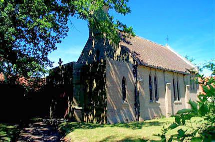
Located close to the western border of North York Moors National Park, Potto is a small village that has a pub, a church and a haulage company. The surrounding villages are Swainby in south, Hutton Rudby and Rudby in north, Faceby and Carlton in Cleveland to the east. It is 11.5 miles far from Northallerton, and 14 from Middlesbrough and Stockton-on-Tees.