Population 300 Civil parish Carlton Sovereign state United Kingdom | OS grid reference NZ508043 Local time Friday 2:01 PM District Hambleton | |
 | ||
Weather 6°C, Wind SE at 16 km/h, 86% Humidity | ||
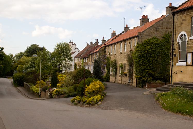
Carlton in Cleveland is a village in the Hambleton district of North Yorkshire, England, and on the edge of the North York Moors National Park. It is situated approximately 9 miles (14 km) south of Middlesbrough. The village is commonly known as Carlton, and is the only village in the civil parish of Carlton.
Contents
Map of Carlton, UK
The population of the parish was estimated at 300 in 2013.
Carlton in Cleveland has a school, Carlton and Faceby Primary School, and a public house, the Blackwell Ox, but no longer has a post office or shop. Carlton Outdoor Education Centre within the village provides activities for children.
History
Carlton was first mentioned in the Domesday Book in 1086. By the 14th century it had become known as Karleton in Clyveland (Carlton in Cleveland), to distinguish the place from other places named Carlton. "Cleveland" refers to the historic region of Cleveland. The village did not form part of the county of Cleveland during its brief existence from 1974 to 1996.
In the Middle Ages it appears that Carlton was a chapelry in the parish of Rudby, but by 1611 Carlton had its own church, and was considered a separate parish. The present church, dedicated to St Botolph, was completed in 1897. It was designed by Temple Moore, and is a Grade II listed building.
