Population 1,572 (2011) Sovereign state United Kingdom Dialling code 01642 | OS grid reference NZ467065 Local time Friday 11:12 AM District Hambleton | |
 | ||
Weather 8°C, Wind SW at 34 km/h, 75% Humidity | ||
Hutton rudby 1977 silver jubilee mp4
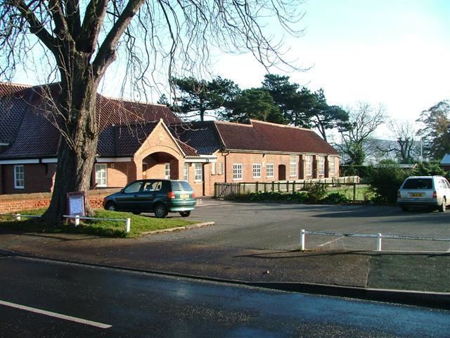
Hutton Rudby is a village and civil parish situated 4 miles (6.4 km) west of the market town of Stokesley in the Hambleton district of North Yorkshire, England. The population of the civil parish at the 2011 Census was 1,572.
Contents
- Hutton rudby 1977 silver jubilee mp4
- Map of Hutton Rudby UK
- Garbutts lane hutton rudby animation
- Geography
- Main sights
- References
Map of Hutton Rudby, UK
Garbutts lane hutton rudby animation
Geography
It is joined to the village of Rudby by a bridge spanning the River Leven.
Main sights
Rudby Hall is a Grade II* listed house, built in 1838 for Lady Amelia Cary, illegitimate daughter of King William IV, and her husband Viscount Falkland. In 2014 it was re-opened after restoration for use as a wedding venue.
There is a Norman church of All Saints which stands alongside the River Leven at the bottom of Rudby Bank Hutton Rudby is also home to a cholera mound, most notable as it is the grave of some 23 people who died in the cholera outbreak of 1832.
