
Area 4,450 km² Local time Friday 2:20 PM Team Interporto Futebol Clube | Region Norte Time zone UTC-3 (UTC-3) Population 52,510 (2016) Number of airports 1 | |
 | ||
Weather 32°C, Wind NE at 8 km/h, 60% Humidity University President Antônio Carlos Faculty - ITPAC Porto Nacional | ||
Porto Nacional is a Brazilian municipality in the state of Tocantins. The population was 45,289 (2007) in an area of 4,450 km2 (1,720 sq mi), including both rural and urban areas.
Contents
Map of Porto Nacional - State of Tocantins, Brazil
Location
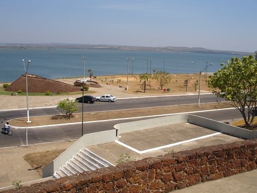
It is located approximately in the center of the state at a distance of 60 km. from the state capital of Palmas, which lies to the north on highway TO-050 Porto Nacional lies on the right bank of the important Tocantins River, which flows north to join the Araguaia River, one of the major tributaries of the Amazon River. Leaving from the capital of Goiás, Goiânia, it is located at a distance of 769 km, taking the BR-153 (Belém-Braília) and then TO-255.
The economy
The main economic activities are cattle raising and the growing of crops like soybeans, pineapple, rice, mamona, corn, and sorghum.
Planted area of main crops in 2006
Farm data for 2006